Travis Butler
Well-Known Member
It started with a dead-end road...
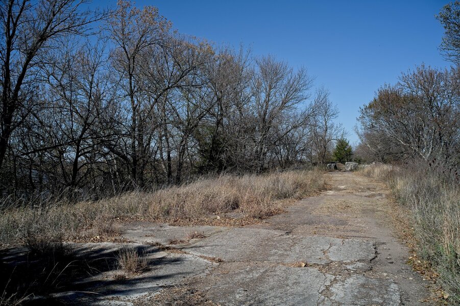
The water level in El Dorado Lake in south-central Kansas has been dropping dramatically in the last several months; I've been taking pictures from a vantage point on the Flint Hills Scenic Byway since August. On this trip to Wichita, I wanted to find a different vantage point, so I decided to follow a sign promising boat ramps. Which led me here...
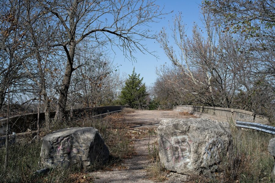
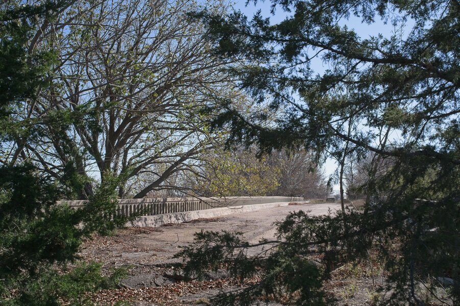
A blocked-off road and a bridge, but still no clue what's beyond it.
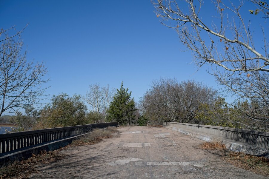
The bridge itself still looked pretty intact...
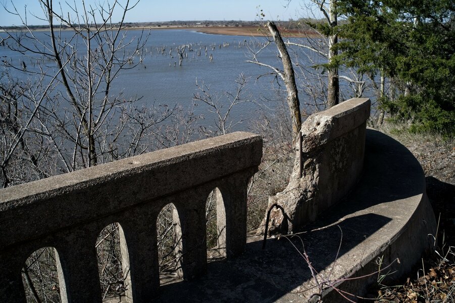
...until you got close.
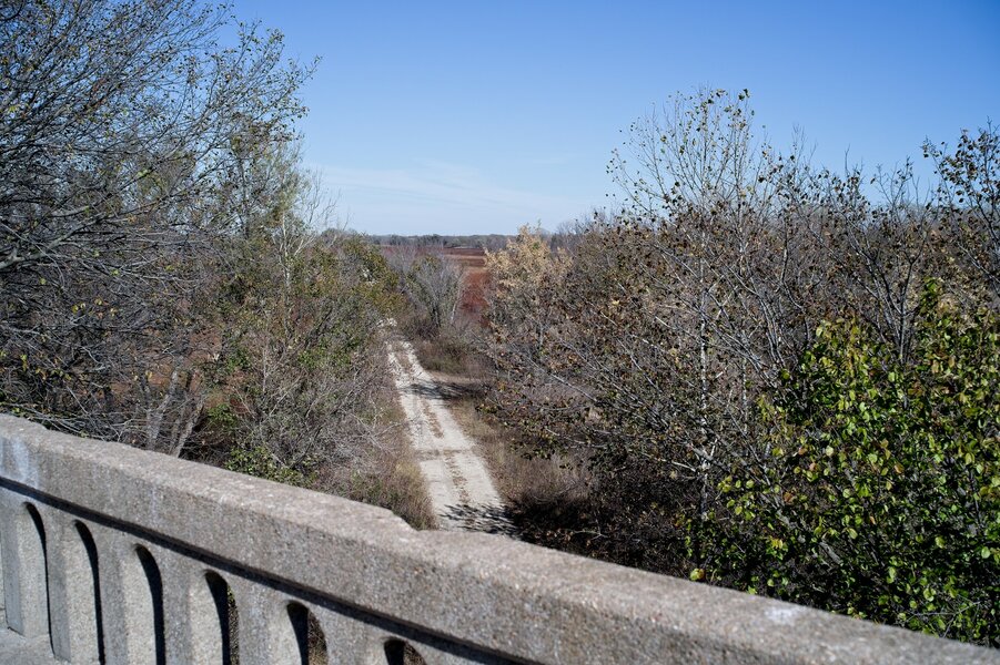
And it still wasn't clear what this was. What was the bridge crossing, and where was it going?
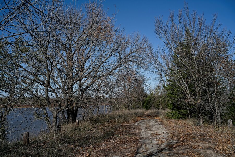
Once across, the road deteriorated, overgrown and with trees popping up through the asphalt.
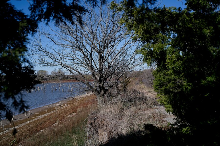
Near the edge, it was crumbling away; I believe the flat area at left is normally covered by water.
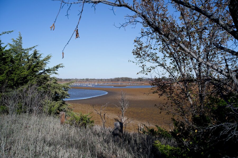
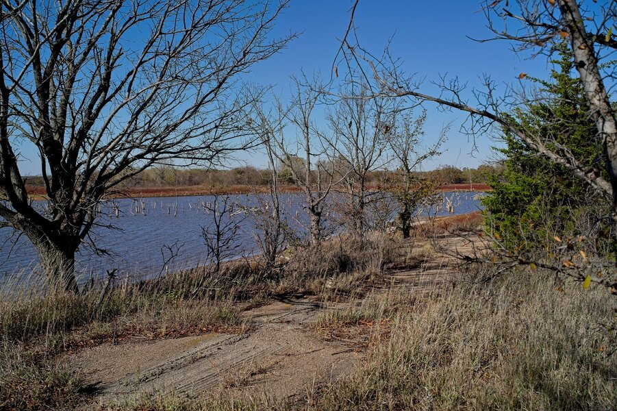
And here we see the lake view I was originally looking for, as well as what this used to be - a causeway crossing an arm of the lake. (When I got home, I looked up the exact location... https://maps.app.goo.gl/VLg2o9xGKnY1z469A ) You can see how far the water level has fallen; the entire plain should be water.
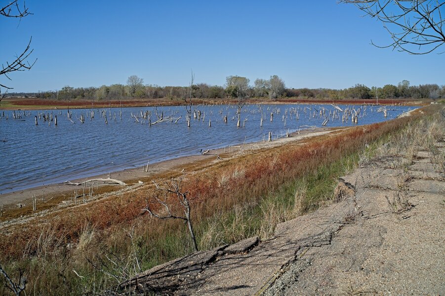
Another view of how the road is crumbling away. I like the colors here - blue/red/green/grey.
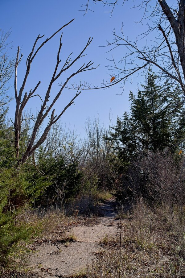
Turned around and heading back.
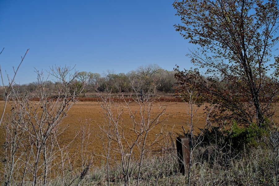
Again, this should all be water.
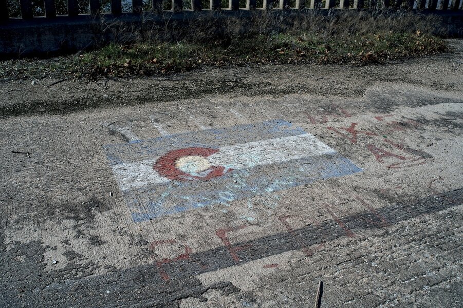
A last bit of graffiti on the bridge. Interesting to see the Colorado flag here.

The water level in El Dorado Lake in south-central Kansas has been dropping dramatically in the last several months; I've been taking pictures from a vantage point on the Flint Hills Scenic Byway since August. On this trip to Wichita, I wanted to find a different vantage point, so I decided to follow a sign promising boat ramps. Which led me here...

A blocked-off road and a bridge, but still no clue what's beyond it.

The bridge itself still looked pretty intact...

...until you got close.

And it still wasn't clear what this was. What was the bridge crossing, and where was it going?

Once across, the road deteriorated, overgrown and with trees popping up through the asphalt.

Near the edge, it was crumbling away; I believe the flat area at left is normally covered by water.

And here we see the lake view I was originally looking for, as well as what this used to be - a causeway crossing an arm of the lake. (When I got home, I looked up the exact location... https://maps.app.goo.gl/VLg2o9xGKnY1z469A ) You can see how far the water level has fallen; the entire plain should be water.


Another view of how the road is crumbling away. I like the colors here - blue/red/green/grey.

Turned around and heading back.

Again, this should all be water.


A last bit of graffiti on the bridge. Interesting to see the Colorado flag here.
Last edited: